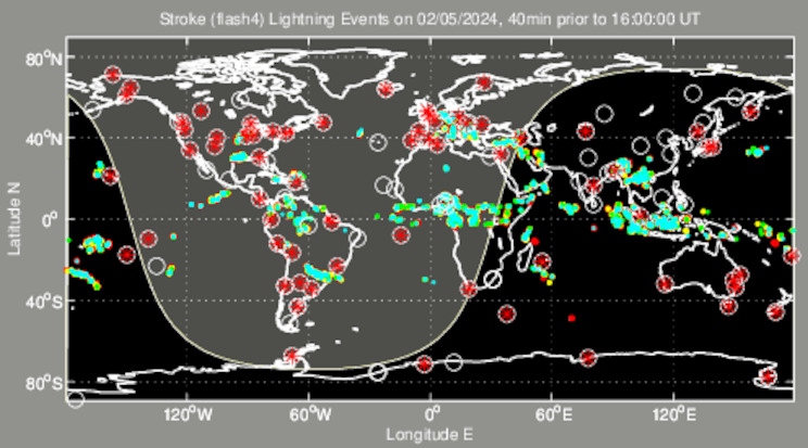
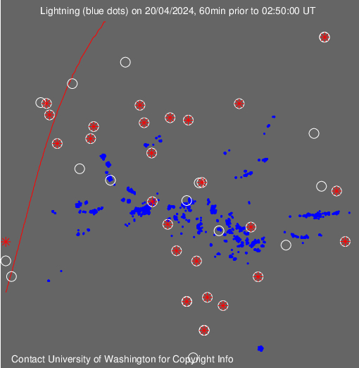
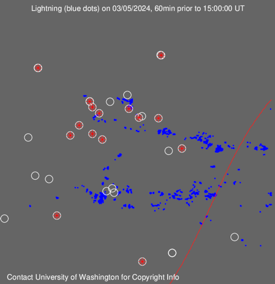
Lightning activity for
Earth
Lightning stroke positions are shown as coloured dots which "cool down"
from
blue for
the most recent (occurring
within the last 10 min) through
green and
yellow to
red for
the oldest (30-40 minutes
earlier).
Red asterisks in white circles are active WWLL lightning sensor
locations.
The terminator (day-night boundary) is shown, with the daylit
section of the globe in grey.
(also see WWLL map with superimposed cloud
viewed by satellite
Americas
or
Europe/Africa )
or
East Asia/Indonesia )
(Thanks to National Weather Service/Aviation Weather Center for images of cloud
cover).